
Advance your career in the growing fields of Geographic Information Systems (GIS). Whether you’re a working professional looking to upskill, or considering a career change to a field involving GIS, the University of Vermont’s 100% online GIS and Data Communication Certificate empowers you to learn on your own schedule while gaining practical tools to succeed in this high-demand industry.
FAQ: Keep Reading for Q&A with Program Director, Dan Erickson
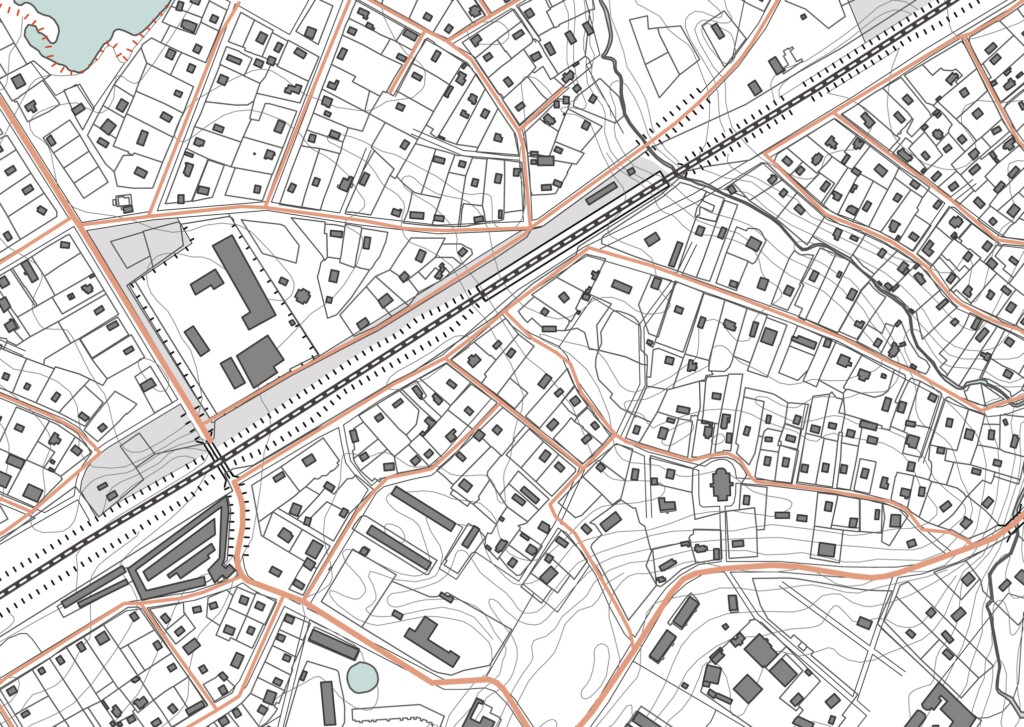
Why Students Choose UVM’s Online GIS Certificate
The online GIS Certificate at UVM combines real-world learning with the flexibility working adults need. No coding experience or technical background? No problem. This program is designed to guide both newcomers and seasoned professionals through the essentials of Geographic Information Systems.
With expert instruction from the renowned Rubenstein School of Environment and Natural Resources, students gain the skills and knowledge needed to excel in the dynamic field of GIS. UVM offers multiple geospatial technologies academic programs and courses that emphasize a deep understanding of core concepts, engagement in real-world applications, and use of the latest technologies.
This GIS Certificate also comes with the credibility of UVM’s reputation as a top-tier research and R1-designated institution. Whether you want to grow within your current industry or pivot into a new one, UVM’s certificate builds the skillset and confidence you need to thrive.
The U.S. Bureau of Labor Statistics highlights GIS as a high-growth field, with jobs expected to grow 10% annually. Imagine securing one of these in-demand roles with your newfound expertise. Even better, the average GIS professional salary is $95,000+ per year, making this a lucrative direction for career advancement.

GIS Certificate Program Highlights
- Comprehensive Curriculum: Learn GIS fundamentals, advanced applications, remote sensing techniques, and data visualization to refine your skills.
- Hands-On Learning: Work with industry-standard software like ESRI’s ArcGIS Pro and tackle real-world problem-solving from day one.
- Flexibility and Accessibility: Complete the program online within 12 months, managing coursework around your busy schedule.
- Career-Boosting Tools: Enhance your critical thinking and geospatial data analysis skills to stand out in fields like urban planning, environmental science, public health, or natural resource management.
- Expert Instruction: Learn from experienced faculty at the Rubenstein School of Environment and Natural Resources, who bring extensive knowledge and real-world expertise to guide your learning.

Careers that Benefit from an Online GIS Certificate
The GIS certificate is ideal for individuals in a range of industries who want to develop or enhance their geospatial skills. These careers include but are not limited to:
- Town Government & Urban Planners: Visualize and design efficient city systems.
- Environmental Scientists: Map and monitor ecosystems.
- Geospatial Developers & GIS Specialists: Manage and analyze spatial data for industries.
- Public Health Professionals: Geospatial data for mapping community health trends.
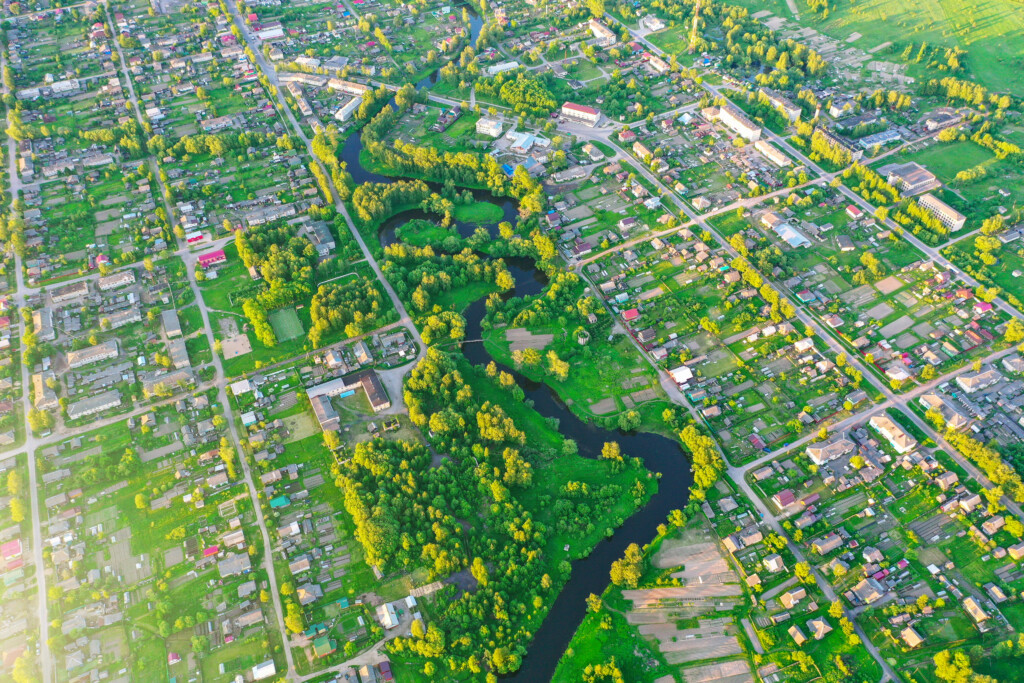
- Natural Resource Managers: Oversee forests, water systems, and wildlife conservation efforts.
- UAS Scientists or Intelligence Analysts: Support cutting-edge projects in defense or innovation.
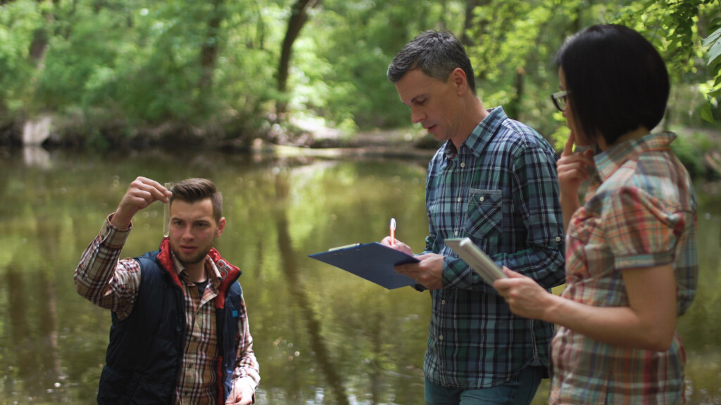
Gain GIS Skills and Hands-on Experience
Turn Big Data into Real-World Solutions


GIS Certificate Alumni Success Stories
The GIS Certificate program has been a catalyst for career transformation, empowering our students to master advanced geospatial computation using Python and R computer languages. Through practical, project-based learning, they gain the technical expertise not only to analyze and model spatial data but also to communicate their findings clearly and effectively—whether through dynamic maps, reports, or digital media. These skills open doors across diverse industries, enabling graduates to make a real impact in their fields. Discover how our GIS alumni have turned their passion for data and mapping into meaningful professional achievements.
- “The GIS Certificate program gave me the technical expertise to analyze spatial data, which directly enhanced my ability to make informed decisions in municipal planning and zoning. It was a game-changer for my career.” – Taylor M., Urban Planner
- “Learning GIS tools significantly improved my contributions to wildlife conservation projects. I can now map habitats more accurately, leading to better preservation strategies.” – Alex R., Conservation Biologist
- “Thanks to this program, I developed the skills to create detailed emergency planning maps that serve as critical tools for disaster response teams in my organization.” – Jordan L., Emergency Management Specialist
- “The coursework in GIS provided me with insights into location-based analysis, which has been pivotal in advancing my healthcare research and identifying patterns in community health data.” – Casey T., Public Health Researcher
- “Mastering GIS technology through this certification enabled me to better plan construction projects by assessing environmental impacts and optimizing site designs.” – Morgan S., Construction Project Manager

GIS Certificate Coursework in a 12-Month Cycle
You can personalize your learning path based on your interests while progressing through coursework and fulfilling two Core Courses, one Specialization Course, and the Independent Study. Here’s what your year might look like if you start in Fall 2025:
- August – October: Introduction to GIS. Learn foundational geospatial concepts, tools, and techniques using ArcGIS Pro.
- October – December: Advanced GIS. Build on GIS basics with advanced analyses, data management, and automation via Python and Model Builder.
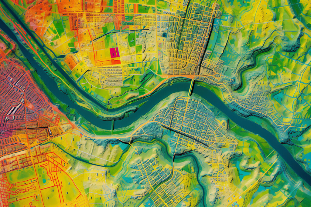
- January – March: Remote Sensing Foundations or Data Visualization and Communication. Master satellite imagery analysis (remote sensing) or create compelling maps and visualizations (data communication).
- June – August: GIS Independent Study. Apply your skills to a real-world project guided by expert mentors.

Not sure where to begin? Our enrollment coaches can help you choose the best starting point, whether you’re brand new to GIS or ready to tackle advanced tools.
Register Today and Begin Your GIS Journey
Take the next step in your career with UVM’s online GIS and Data Communication Professional Certificate. Gain practical, job-ready skills to make an impact in your field or even change careers entirely.
Combine four courses together for a customized certificate!
- Introduction to GIS
- Advanced GIS
- Data Visualization and Communication
- Intro to UAS and Geospatial Applications
- Remote Sensing Foundations
- Environmental Modeling
- Geospatial Computation
- Independent Study
Seats for the Introduction to GIS course are limited and fill up quickly. Don’t miss your chance to join this rewarding program and transform your career trajectory.
Get started on your path to becoming a GIS professional!
FAQ with Dan Erickson, Director of UVM’s GIS Certificate Program
1. What inspired the creation of UVM’s GIS Certificate Program?
The program was developed to meet the growing demand for GIS professionals across various industries. Our goal is to provide students with practical skills and hands-on experience to help them succeed in this dynamic field.
2. Who is this GIS Certificate program designed for?
The GIS Certificate is designed for anyone looking to enhance their career with GIS expertise, whether you’re a recent graduate, a working professional seeking advancement, or someone pursuing a career change into a GIS-related field.
3. What can students expect to learn from this GIS Certificate program?
Students will gain a solid foundation in GIS concepts and tools, covering everything from data visualization to spatial analysis. They’ll also learn how to apply GIS knowledge to real-world problems, supported by individual projects and case studies.
4. How does the 100% online format of UVM’s GIS Certificate program benefit students?
The fully online format allows students the flexibility to balance their studies with work or personal commitments. We’ve tailored the experience to make it accessible and interactive, featuring live discussions, hands-on exercises, and support from knowledgeable faculty.
5. Are there any prerequisites for enrolling?
The program welcomes participants from all backgrounds. While prior experience with GIS can be helpful, it’s not required. For example, the Intro to GIS course helps create foundational understanding of GIS, and if learners already have this introductory understanding of GIS through prior education or professional experience, students can bypass the Intro course and step into the Advanced GIS course with prior instructor approval. The curriculum is designed to accommodate beginners as well as those with some GIS knowledge.
6. What makes UVM’s GIS Certificate stand out from other programs?
Our program emphasizes practical, career-focused learning. Students work on real-world challenges and engage with instructors who are experts in the field. Additionally, completing the rigorous 12-month curriculum provides a competitive edge in today’s job market.
7. What advice do you have for prospective GIS students?
Don’t hesitate to take the next step in your career! GIS is a rapidly growing field with hundreds of career pathways. This certificate program is an excellent option to shift your career towards a GIS-related pathway and take the first step to adding these powerful GIS skills to your technical toolbox. Be ready to explore, collaborate, and immerse yourself in the technology that’s truly shaping our world.
8. How does the Rubenstein School of Environment and Natural Resources (RSENR) contribute expertise to this GIS Certificate?
RSENR brings a wealth of knowledge and a strong environmental focus to the GIS Certificate program. Faculty members with extensive experience in environmental science and geospatial analysis provide high-quality instruction, ensuring students gain practical skills and insights. The school’s emphasis on sustainability and natural resource management enhances the program’s relevance, preparing graduates to tackle real-world environmental challenges using GIS technology.
9. Does UVM’s GIS Certificate program offer customizable courses or specialization?
Yes, the GIS Certificate program offers customizable courses and opportunities for specialization. Students can tailor their learning experience by selecting from specific courses such as Remote Sensing, which focuses on analyzing aerial and satellite imagery, and Geospatial Computation, where they can develop advanced analytical skills using programming and geographic data. Data Visualization and Communications is another key course, enabling students to effectively communicate complex spatial information through compelling visual formats. Additionally, the program includes an Independent Study option, allowing students to explore a wide range of specialized topics or industries, such as urban planning, natural resource management, or environmental conservation, further aligning their education with career goals.


