Regarded as the founding event of the science of epidemiology, Dr. John Snow, investigating the causes of the 19th century cholera epidemic in Soho, London, began plotting and analyzing outbreaks using a street map. Cholera, which was previously believed to have originated from vapors from the cemetery was discovered to be occurring at significantly higher rates in two areas supplied by a contaminated water pump. His extensive research and mapping effectively ended the outbreak and helped usher in a new era of public health.
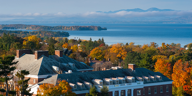
Maps That Matter in a Coronavirus Pandemic
Today, we see examples of this very same idea on the news with the coronavirus pandemic–maps of hotspots, states with rising or falling case numbers, tracing the movement of cell phones with outbreaks—even how the number of coronavirus cases can overlap with maps of vulnerable areas, highlighting the intersection of multiple societal issues.
Addressing the importance of GIS and communicating data amidst COVID-19, UVM offered a free, informational webinar, Maps That Matter: Communicating in a Time of Crisis, led by Dr. Gillian Galford, Program Director for UVM’s brand-new, fully online Geographic Information Systems (GIS) and Data Communication Professional Certificate program.
“We often work with these complicated databases—big tables that are stored in our computer systems,” Galford said. “It’s often much more effective to communicate with a map than to give someone a big old table. So this interaction between lots and lots of data stored on a computer system can be translated into really easy to understand map formats.”
And, according to Galford, it’s not what you’re studying, but how you’re communicating the data at hand.
“A lot of times, people learn how to work with databases—maybe through a computer science class or through a math and statistics course and they’re often expected to apply it in their GIS analysis,” Galford said. “Well, we do have courses in the certificate that are actually on how to do that type of database, queries, statistics—all that stuff in terms of actual computing—but with the specific goal of applying it to spatial analysis, and the same thing with our data visualization and communication. It’s not just a course on data visualization and communication, it’s really specific to communicating about spatial data, which is really cool.”
Course Focuses on Concepts and Theories for Critical Problem-Solving Skills
UVM’s program, which offers courses in the fall, winter and spring semesters, helps students build skills to gain a promotion, or in some cases, a career change. The program emphasizes knowledge of concepts and theory for critical problem-solving. Both for those new to the industry or those looking to advance in their career, the program is focused on developing critical thinking and applied problem solving skills including developing conceptual knowledge, technical skills and applied uses of geospatial analysis. By the end of the program, students will have gained the skills to:
- Understand important conceptual underpinnings of GIS and their practical applications
- Harness remote sensing as a tool for environmental or landscape problem-solving
- Analyze data to reveal patterns and relationships to better inform decision-makers
- Create impactful maps and visualizations of large and complex datasets that encourage comparison and visual analysis by the viewer
- Go beyond “off the shelf” buttons towards the ability to customize workflows, scripts, or models in Python and R
One of the program benefits include remote access to ArcGIS Pro through the University of Vermont—software that is normally carries a hefty license fee for users. And although businesses and organizations can use different software, Galford is confident that the fundamental skills and approaches carry over. “Part of the design was to make sure students really understand the theory and concept.”
Career Opportunities in GIS and Data Communication
There is increasing demand by employers for professionals in Geospatial Analysis (GIS, remote sensing, computing, communication) and job opportunities can include careers in software development, environmental science, healthcare, consultancy, and even real estate. In fact, the U.S. Bureau of Labor Statistics identifies GIS as a field with a “bright outlook” for future career opportunities and projects high growth.
“I love staying in touch with my former students and seeing where they go in the world,” Galford said. “We have students who have gone to work with GPS companies like Trimble, people who go on to work for the government or NASA, or mapping and managing trails and recreation for state parks. There’s a really high demand in health informatics, and I’ve had people reaching out to me saying, hey, my friend is the town manager in a small town in North Carolina, do you know anyone who can go GIS work for them around the pandemic? So people are really realizing that they need this data.”
Watch the webinar here.
Learn more about UVM’s Geospatial Information Systems and Data Communication Professional Certificate Professional Certificate program.