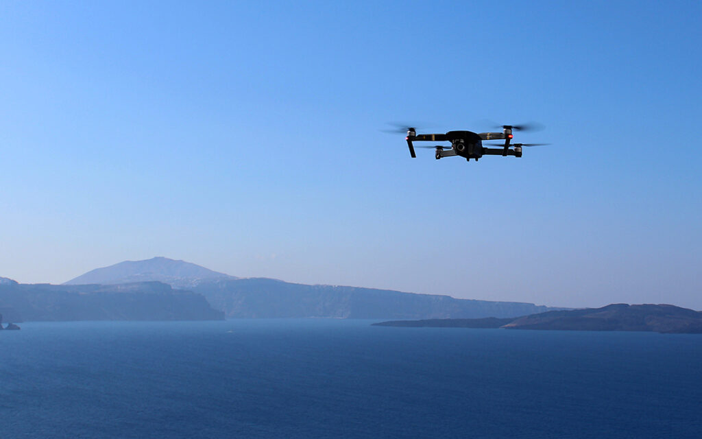
Unmanned aerial systems (UASs), commonly known as drones, made their debut in the military about a century ago.
Only in the past few years have drones become more popular with increasing commercial interest. Researchers at UVM’s Spatial Analysis Laboratory are seeing a rising demand for drone instruction.
“There’s so much interest as more and more people are using drones for mapping construction, taking real estate photos, and conducting bridge inspections,” says Emma Estabrook ’16, a research specialist and a drone pilot in the Spatial Analysis Laboratory. Estabrook and Jarlath P.M. O’Neil-Dunne will lead a new UVM Unmanned Aircraft System/Drone Workshop this summer on Aug. 5-7
The Rise of the Drone Market
The U.S. military had its first UAV, which acted as a “cruise missile” in combat in 1918.
The military has certainly served as a catalyst for the development of UAV technology, allowing commercial drones to become cheaper, lighter, and more sophisticated. Today, drones serve many functions, ranging from monitoring climate change and carrying out search operations to aerial photography and delivering goods.
While the military market is currently the largest for drones, the commercial drone sector will grow at a compound annual growth rate of 19 percent between 2015 and 2020, according to Business Insider.
Eventually, the commercial market will likely eclipse the military market in size, and the impact of commercial drones could be $82 billion with a 100,000 job boost to the U.S. economy by 2025, according to the Association for Unmanned Vehicle Systems International (AUVSI).
Why are drones so popular to companies?
Divya Joshi of Business Insider writes, “Increasing work efficiency and productivity, decreasing workload and production costs, improving accuracy, refining service and customer relations, and resolving security issues on a vast scale are a few of the top uses drones offer industries globally. Adoption of drone technology across industries leapt from the fad stage to the mega-trend stage fairly quickly as more and more businesses started to realize its potential, scope, and scale of global reach.”
She adds, “Whether drones are controlled by a remote or accessed via a smartphone app, they possess the capability of reaching the most remote areas with little to no manpower needed and require the least amount of effort, time, and energy. This is one of the biggest reasons why they are being adopted worldwide, especially by these four sectors: Military, Commercial, Personal, and Future Technology.”
UVM Drone Workshop
At UVM, Drone Workshop participants will learn about the use of drones for geospatial analysis with an immersive introduction with both classroom and field site components. The workshop is designed to teach students how to operate drones to collect data and how to turn drone photos into information that can be used for a variety of applications.
Participants will gain an understanding of:
- Drone safety and uses
- Flight operations
- Flight planning
- Fixed-wing and Quadcopter flight operations
- Applicable software for data collection, processing, and analysis
“The workshop is for anyone interested in learning about drones. It’s a beginner course focused on how to fly a drone and how to process the data to get mapping results,” Estabrook says. “We’re looking to attract students who want to learn about drones in a professional way with a data and acquisition focus.”
Estabrook says learning to operate a drone is just the tip of the iceberg.
“I would like people to leave the course with a real understanding of how to use drones for mapping,” she says. “By the end of the workshop, students will also realize that drone flying is the easy part and working with data is more difficult.”


