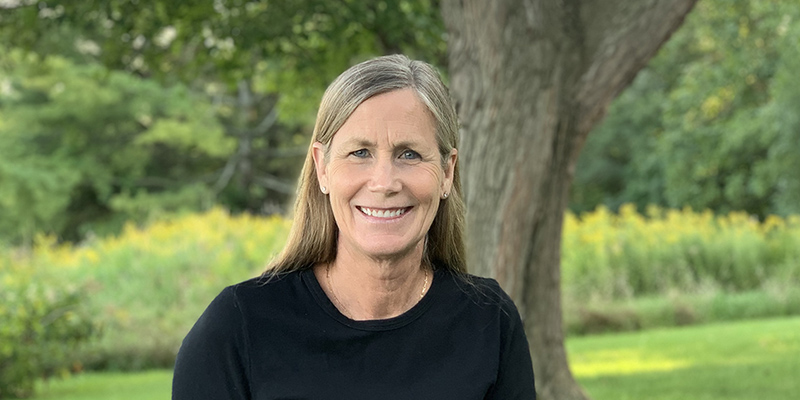
Archaeology, landscapes, and geology are longtime interests of Janet Bull. But geographic information systems or GIS appeared on her radar only recently.
Bull, a UVM alumna, has a career that has ranged from registered nurse to law clerk to an assistant attorney general for the State of Vermont. Over the past several years, she decided it was time to explore new opportunities for learning.
“After coming across studies utilizing GIS [Geographic Information Systems] as a modality for archaeological research, my interest was piqued,” she says. “When I learned about UVM’s new GIS certificate program, I knew it would be an excellent opportunity to explore and build skills in GIS.”
UVM’s online GIS and Data Communication Professional Certificate covers remote sensing, geospatial computation, and data communication and uses the current version of ESRI’s ArcGIS Pro software.
Bull says that UVM’s program offers comprehensive instruction in many of the features of the premier GIS software application, ArcGIS Pro. It also helps students gain practical experience employing workflow strategies to solve GIS problems.
“GIS is all about data manipulation and analysis. It is an excellent way to improve one’s understanding of file formats, data types, and data visualization,” she says. “I learned a great deal and accomplished my initial goal of exploring the discipline as well as the full range of ArcGIS Pro’s capabilities. That said, the field of Geographic Information Systems is big, and the technology, ever-evolving. There will always be more to learn, and I foresee more formal education in my future.”
UVM’s four-course, non-credit certificate serves professionals with different academic backgrounds and a variety of disciplines. Students enrolling will build skills to gain a promotion, or in some cases, a career change. The program emphasizes knowledge of concepts and theory for critical problem-solving.
Skills relevant to employers available through the GIS certificate include:
- Geographical Information Systems (GIS using ArcGIS Pro)
- GPS technology
- Map-making, data visualization, and communication
- Database management
- Remote sensing
- Web mapping
- Workflow programming with code (e.g., Python, R, R-Bridge with ArcGIS)
Bull’s professional interests revolve around the remote sensing aspect of GIS. She hopes to build new GIS skills analyzing satellite imagery and Lidar data. Lidar, also known as Light Detection and Ranging, is a technology used to create high-resolution models of ground elevation with a vertical accuracy of 10 centimeters.
“Ultimately, I want to be able to use big data to conduct archaeologically-related research,” she says. “For example, satellite data is increasingly being used to create lithological maps of geographic areas. These maps are then examined to identify raw material sources once used by ancient people for stone tool production.”
Bull says she found the UVM online GIS certificate an affordable, valuable option.
“It is a fast-paced, immersive experience,” she says. “Yet the instructors are accessible and supportive. They want you to learn the material and to succeed.”


