Program Snapshot
Spring Start Date
April 27, 2026Spring Registration Deadline
April 20, 2026How Often
Start dates every semesterCost
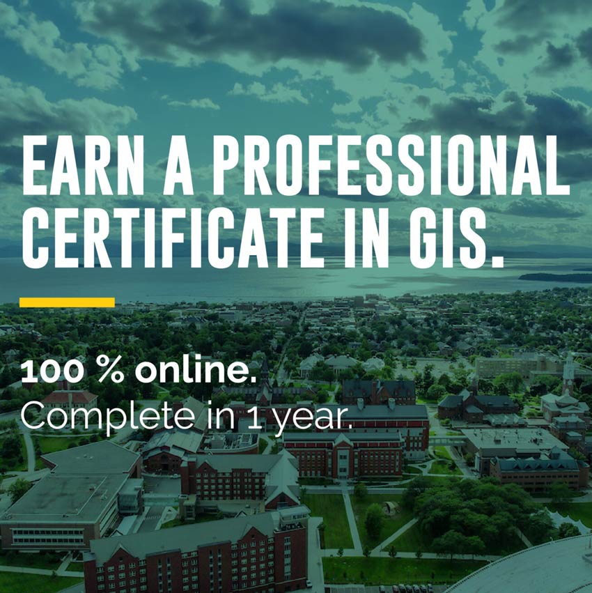
Course: $1,600 | Certificate: $6,400Online Learning Type
AsynchronousDuration
Course: 8 – 9 weeks | Certificate: 12 monthsTime Commitment
10-12 hrs./wk.Credential
Digital BadgeDiscounts
20% discount for UVM Affiliates and UVM Medical Center employees, and their spouses and dependentsCredits
Non-creditOverview
Thanks to satellites, millions of images of the Earth and human activities are at our fingertips. Computers store massive amounts of data and digital software is rapidly developing. Yet, how do we make sense of all this data to create positive change? That’s where skills in Geospatial concepts come in.
This 4-course, non-credit GIS certificate program covers Geographical Information Systems (GIS), remote sensing, geospatial computation, and data communication. All so you can turn big data into useful information that helps solve real-world problems whether socioeconomic or environmental.
Whether you’re new to the industry or looking to advance your career, the program is customizable based on your interests and designed to improve your critical thinking and applied problem-solving skills.
“I wanted experience using this tool (ArcGIS), and this is what the UVM Intro to GIS class really focuses on – how to use ArcGIS, download data, and make maps.”
Alison Spasyk, UVM GIS Certificate Graduate
Why choose GIS at UVM?
Learn the Latest Software
Using ESRI’s ArcGIS and other leading software, you’ll translate a range of geospatial data into layered maps that allow complex themes to be communicated to wider audiences.
Build on Our GIS Credibility
Establish your credibility in the world of GIS with UVM, a recognized leader in the use of geospatial technologies and research.
Gain Advanced Skills
You’ll learn to go beyond “off the shelf” buttons toward the ability to customize workflows, scripts, or models in Python and R.
Who is GIS right for?
If you love maps, data, and technology and have a passion for sparking positive change in the world, you’ve come to the right place.
Whether you’re looking to get started in GIS, or want to expand your skill set, UVM’s GIS certificate program is right for you if you want to:
- Empower leaders with tools to make more informed decisions.
- Be curious and investigate what-if scenarios.
- Engage with real-world applications and the latest technologies.
- Pursue your passion for biodiversity conservation, forest fire suppression, agricultural monitoring, humanitarian relief, and much more.
UVM’s GIS & Data Communication Professional Certificate is designed to help you succeed in the growing field of GIS and geospatial analysis. No prior GIS experience or background in coding or computer programming is required.
“Given the scope of this course, it’s completely appropriate for a beginner and novice to both coding and remote sensing to be comfortable and not overwhelmed…in taking these courses a key skill you’ll acquire is the ability to be able to decipher what you’re seeing when you’re looking at any map.”
Amanda Armstrong, NASA Senior Research Scientist and UVM GIS instructor
Turn big data into useful information that helps solve real-world problems.
Request information below from our enrollment experts, and learn how you can harness the full potential of geospatial intelligence through UVM’s GIS & Data Communications Certificate.
Ready to get started?
Request Information
Submit this form to receive additional program information.